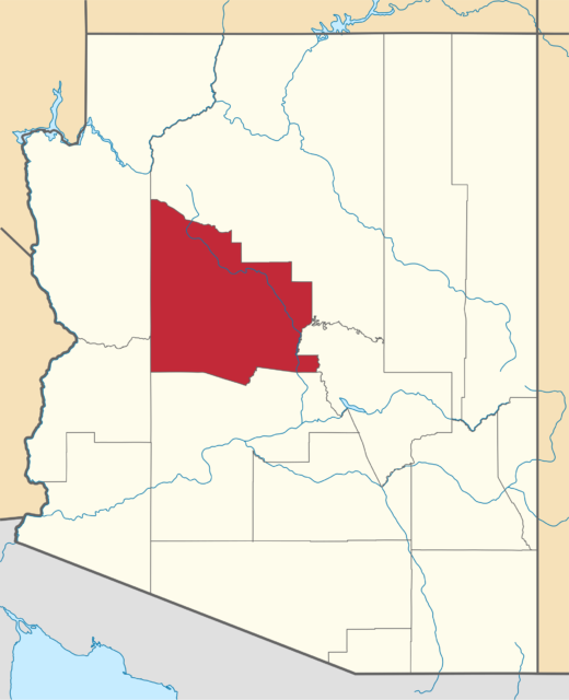
The flood hazard areas of Yavapai County, including lands that border the Verde River, are highly susceptible to periodic flooding, which has endangered residents and caused damage to businesses and homes. During the winter of 2004-2005, the Verde River flooded four times, yet the homes situated along the river escaped serious damage. This is attributed to a Yavapai County requirement that homes built in the Verde River’s floodplain must be elevated at least one foot above the basement level. Although the rising water entered some of the lower-level crawlspaces, no flooding was reported in the living areas of these homes.
 The county determined that flood losses are largely caused by obstructions in areas of special flood hazards that increase flood levels and speeds. To protect their community from the impacts of flooding, the Yavapai County Flood Control District adopted the Yavapai County Flood Control District Ordinance 2010-1, or Flood Damage Prevention Ordinance, to restrict or prohibit uses that are dangerous to health, safety, and property due to water or erosion hazards, or which result in potentially destructive increases in erosion, flood levels, or velocities.
The ordinance focuses on multiple actions that work together to reduce the impacts of flooding.
- New construction in areas vulnerable to flooding requires design and construction that minimizes the obstruction to the flow of floodwaters.
- Homes built in the Verde’s floodplain must be elevated a minimum of one foot above the base flood level.
- County codes require openings in a new structure’s exterior walls no higher than a foot from the ground to equalize water pressure inside and outside the structure.
- Louvered vents over the openings allow floodwaters to flow through the crawlspace but prevent animals from making homes under the house or debris from accumulating.
- Homes must be set back from an erosion-hazard area.
- Foundations must go at least three or more feet below the scour depth of floodwaters.
In addition to construction criteria, the County is charged with: controlling the alteration of natural floodplains, stream channels, and natural protective barriers, which help accommodate or channel flood waters; controlling filling, grading, dredging, and other development, which may increase flood damage; and preventing or regulating the construction of flood barriers, which will unnaturally divert flood waters or may increase flood hazards in other areas.
The need for flood protection is so compelling and the costs of ensuring a structure is built below the regulatory flood elevation are so high that variances from the flood elevation or other requirements in the flood ordinance are quite rare.
The long-term goal of preventing and reducing flood loss and damage can only be met if variances are strictly limited. Therefore, the variance guidelines provided in this ordinance are detailed and contain multiple provisions that must be met before a variance will be granted. The criteria are designed to increase situations in which alternatives to a variance are more appropriate, or even desirable.
Variances for structures listed in the National Register of Historic Places or the State Inventory of Historic Places are granted upon a determination that the proposed repair or rehabilitation will not preclude the structure’s continued designation as a historic structure and the variance is the minimum necessary to preserve the historic character and design of the structure.
Yavapai-County-Flood-Control-District-Ordinance – PDF
Yavapai County Draining Criteria Manual – PDF
Yavapai County Flood Control – website
Downloaded from ResilientWest.org
a project of
Resilient Communities and Watersheds
- Challenges:
- flooding
- urbanform
- Land Use:
- commercial, public, openspace, industrial, multifamily, mixeduse, singlefamily
- State:
- arizona
- Scale:
- site
- Type:
- rural, urban, suburban, amenity

