
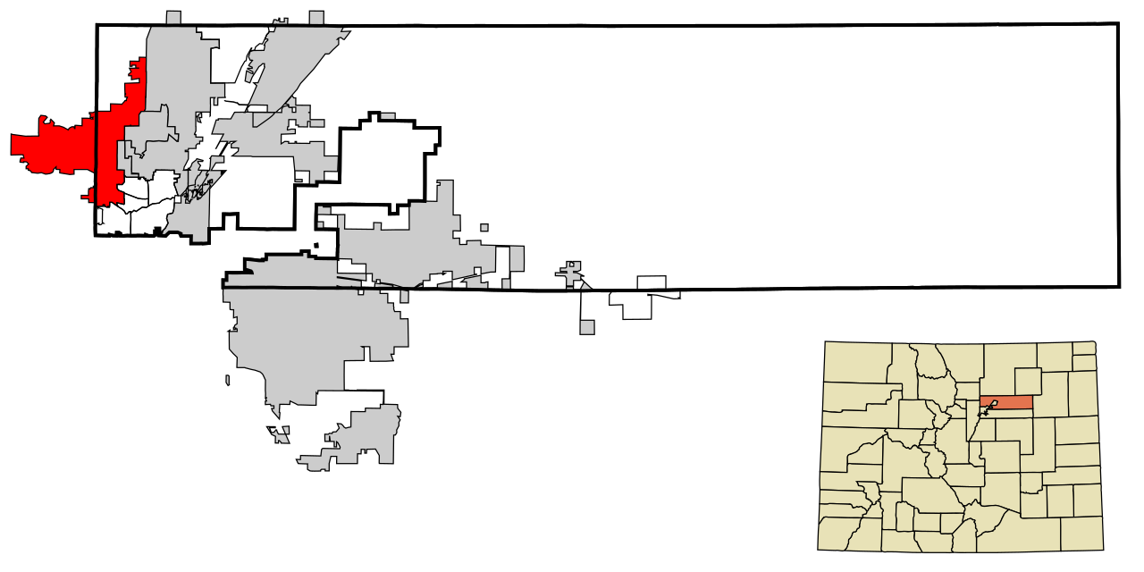
The City of Westminster has a long history of linking water and land use policy.
 In 2004, the citywide Comprehensive Land Use Plan was updated to improve the alignment between land development and water resources including:
- Revised tap fee structure to reflect water usage.
- Revised landscape requirements for low-water using materials and creation of an inspection position to ensure landscape plan compliance.
- Linking water and parcels of land through geographic information systems (GIS).
- Increased reporting to City Council on water supply and demand projections.
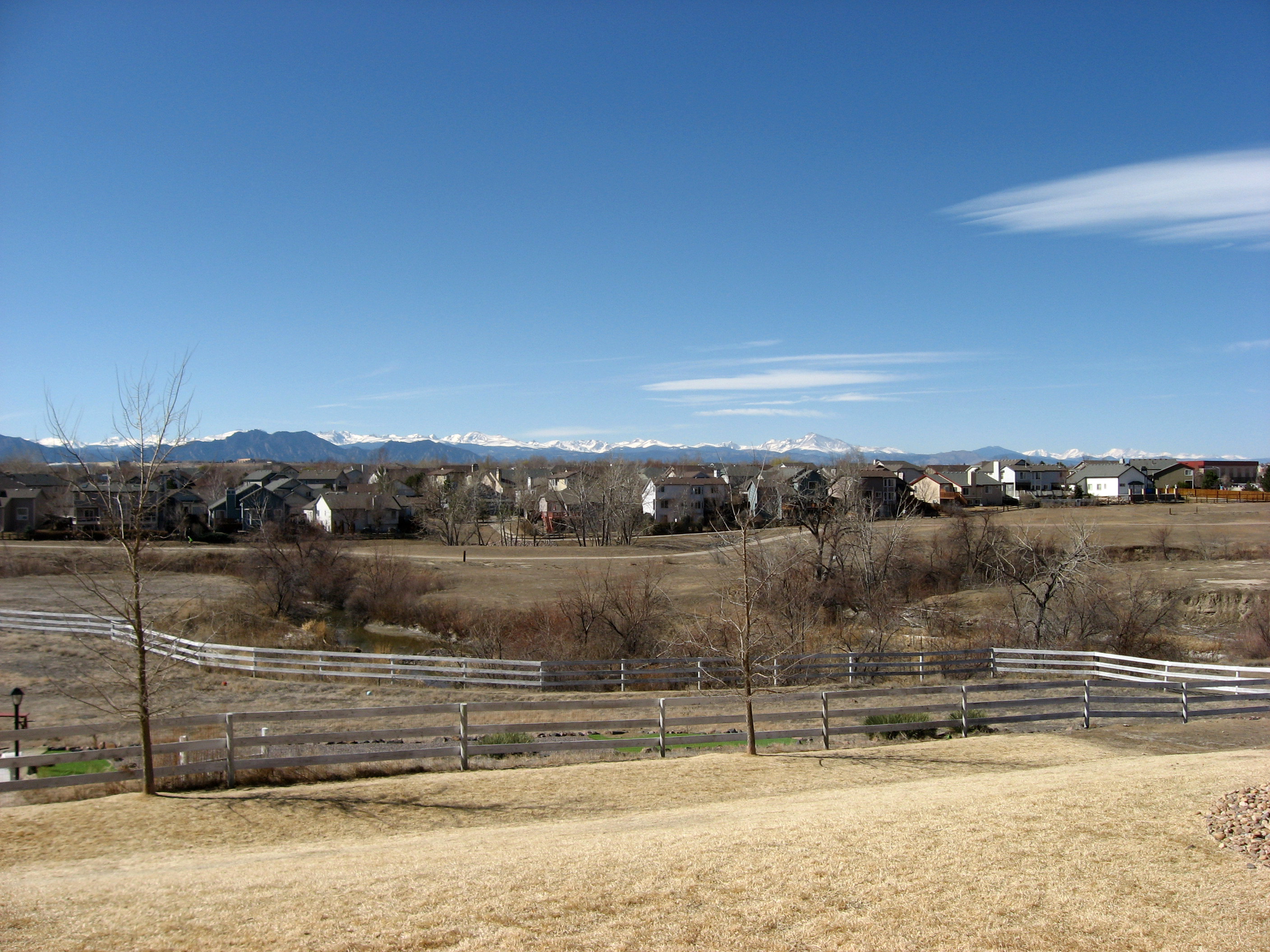
In 2013 Westminster adopted a new comprehensive plan which was amended in 2015. This plan intensified redevelopment and designated growth focus areas and included the Department of Public Works and Utilities in the development process to ensure infrastructure is sufficient for new development.
A 2018 code update removed a disincentive the city had identified that was not achieving desired development goals. The revised standards dictated that any land use change may not negatively impact infrastructure including: drainage, water and sewer infrastructure, and water supply.
A new comprehensive plan, Westminster Forward, is currently underway with an expected completion in 2019. The new comprehensive plan has been expanded to include a sustainability plan and a water supply plan. Combined, these two elements will cover water quality, quantity, supply and demand, and climate change vulnerability.
Westminster is a Growing Water Smart community and received a technical assistance grant to do a code audit and revise anything contradicting the attainment of their water and land use goals.
Case Study Resources
City of Westminster Water Supply Plan – website
Downloaded from ResilientWest.org
a project of
Resilient Communities and Watersheds