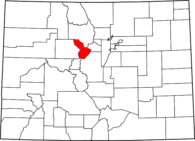
Summit County, Colorado is located high in the scenic Rocky Mountains and is a region of high aesthetic and natural resource assets. As the county has grown over the past few decades, citizens have expressed concern that some of the most scenic rural back country areas with significant ecological values could be lost to trophy and second home development. Transfer of development rights (TDR) programs offer local governments a way to direct land use while at the same time compensate property owners whose land is best suited as a low-density area such as preserving natural scenic values of a community. They also can make development more predictable and offer greater permanence than typical zoning regulations.
 In 1997, Summit County, the Town of Breckenridge, and the Town of Blue River adopted a joint master plan for the Upper Blue River Basin addressing a range of issues, including protection of scenic rural backcountry areas. One of the primary implementation strategies identified in the Joint Upper Blue Master Plan was to develop an Upper Blue Basin TDR Program in conjunction with a Backcountry (BC) Zoning District.
The TDR aspect enables development rights to be transferred out of backcountry areas to more suitable locations in the urban/developed portions of the County. Accompanying the TDR Regulations, the BC Zoning District Regulations ensure that development on backcountry properties is constructed in a manner that preserves the rural, high alpine character of these areas. These two tools work together and complement each other, giving a property owner the choice to either build on the property in accordance with the BC Zoning District Regulations or to voluntarily sell or transfer their development right through the County’s TDR program.
In 1998, the Upper Blue River TDR Committee was convened to explore the potential for enacting an effective transfer of development rights program that could help preserve natural, scenic values in the basin. The program was seen as a useful, voluntary tool where the rights to develop could be shifted from a “sending area,” where the community wanted to preserve certain values, to a “receiving area,” that is more appropriate for the level of development that would occur. This work laid the foundation for the adoption of TDR regulations for the Upper Blue Basin in August 2000, which has since been expanded to cover all four of the County’s river basins, each offering their own TDR program: the Upper Blue, Lower Blue, Ten Mile, and Snake River planning basins.
The backcountry areas of the Upper Blue Basin, Ten Mile, and Snake River basins are peppered with mining claims, most of which were patented in the 1800s and early 1900s for the purposes of mining. The TDR programs for these three basins center on the preservation of backcountry mining claims to protect open space and natural landscapes, and preserve the rural mountain character of these basins’ high alpine backcountry areas.
Each of these programs has been successfully implemented. The Upper Blue Basin TDR program protected 987 acres of backcountry and generated $1,572,000 to supplement the County and Town of Breckenridge’s open space acquisition programs. The programs are structured such that the land holdings within the TDR planning areas are designated:
- Neutral – parcels determined to not be suitable for transferring development rights, and therefore can serve as neither sending nor receiving areas;
- Sending – parcels identified as having value for open space, scenic views, environmentally sensitive areas, or community character, and which are not appropriate for development;
- Receiving – parcels that are potentially appropriate for development, and which can receive the development rights from “sending” areas if a rezoning is approved to increase the permitted density on the parcel in accordance with all applicable County regulations; and
- Optional – areas applicable only in the Lower Blue Basin and which are eligible to either send or receive development rights.
Once a parcel is eligible to become a “sending site,” the zoning designation of the sending site determines the amount of development rights available to be transferred.
As of August 2011, between the County’s four planning basins, 1,501 acres have been protected through the transfer of development rights. This includes 33 transactions in the Upper Blue Basin, 9 transactions in the Snake River Basin, and one transaction each in the Lower Blue and Ten Mile Basins.
Transferable Development Rights – website
Downloaded from ResilientWest.org
a project of
Resilient Communities and Watersheds
- Challenges:
- culturalpres
- urbanform
- other
- Land Use:
- openspace, corridors
- State:
- colorado
- Scale:
- community, regional
- Type:
- amenity, rural

