
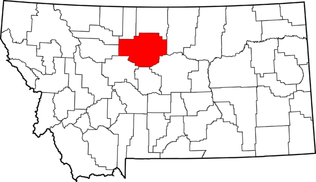
Chouteau County in north-central Montana is predominantly rural. Of about 6,000 county residents, 1,600 live in the county seat of Fort Benton. The Missouri River running through Choteau County was designated “Wild” and “Scenic” in 1976 by National Wild and Scenic Rivers. In 2001, it was named part of the Upper Missouri Breaks National Monument. These special designations raised concerns among residents that excessive tourism would lead to rapid development along the river.
 In 1985, after more than a decade of public involvement through meetings and surveys, Chouteau developed a comprehensive plan and development regulations. These regulations protect approximately 70 miles of Missouri River frontage through construction setbacks.
On the more remote eastern section of the river between Coal Banks Landing Recreation Area and the eastern county line, the county requires a minimum setback of three miles from the high water mark. Upstream from Coal Banks Landing to the City of Fort Benton, structures must be set back 400 feet from the high water mark.
The smaller setback in the upper section comes with additional constraints for potential development. From Fort Benton to Coal Banks Landing, all lots fronting the river must have at least 400 feet of river frontage, and residential densities may not exceed one unit per eight acres. Any individual development or subdivision in the upper section may not exceed 20 units, and mobile homes may not be more than five years old at time of placement on the lot.
Case Study Resources
Choteau County Development Regulations – PDF
Choteau County Growth Policy – PDF
Chouteau Growth Policy 2017Downloaded from ResilientWest.org
a project of
Resilient Communities and Watersheds
- Challenges:
- flooding
- urbanform
- fiscalhealth
- publichealth
- State:
- montana
- Scale:
- site, regional
- Type:
- rural